| Area |
Upper Sheepscot |
| Topic |
WQ: Total Phosphorus in Upper Sheepscot Lakes |
|
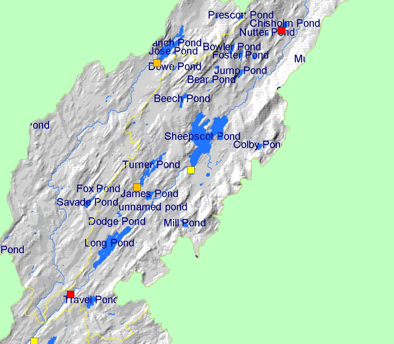
This Map shows lake locations and dam heights in the Upper Sheepscot sub-basin. The water quality of some of these lakes are sampled as part of the
Maine Volunteer Lake Monitoring Program. Scale = 1:85,016 .
|
|
|
 |
 |
To view metadata about a map layer, click on a link in the table below.
| Name of Layer in Map Legend | Metadata File Name |
|---|
| Frame Project Outline | Unavailable |
| Dams, Levees, & Impoundments (by height) [US ACE] | impounds.shp.txt |
| Subbasins (no labels) | subbasins.shp.txt |
| Mainstem and WB Sheepscot River | Unavailable |
| Waterbodies (w/ labels) | sheeppnd.shp.txt |
| Atlantic Ocean, Bays, and Estuaries | Unavailable |
| Grayscale Elevation Hillshade | grayshade1_lt.tif.txt |
If you obtain KRIS on a CD and install it on your hard drive as a desktop program, you will have access to increased map capabilities such as zooming in/out, turning layers on/off, adding layers and changing legends.