| Basin |
Sheepscot |
| Caption |
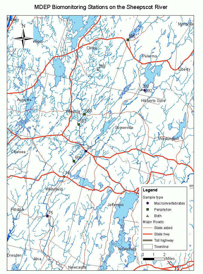
This map shows the location of Maine Department of Environmental Protection (biomonitoring program) stations in the Sheepscot River watershed sub-basin. |
| CaptionTemplate |
[Description] |
| Category |
Monitoring |
| Description |
This map shows the location of Maine Department of Environmental Protection (biomonitoring program) stations in the Sheepscot River watershed sub-basin. |
| Filename |
mdep_sheepscot_stations.gif |
| Filesize |
118815 |
| Meta_Id |
DEP_Temp |
| Notefile |
sheepscot.htm#asc_temp |
| Path |
ms/mdep_sheepscot_stations.gif |
| Series |
Monitoring- MDEP Water Quality Monitoring Sites |
| SubBasin |
Mainstem Sheepscot |