
| Area | Upper Trinity |
| Topic | Tour: Trinity Lake Construction: Lake Filling |
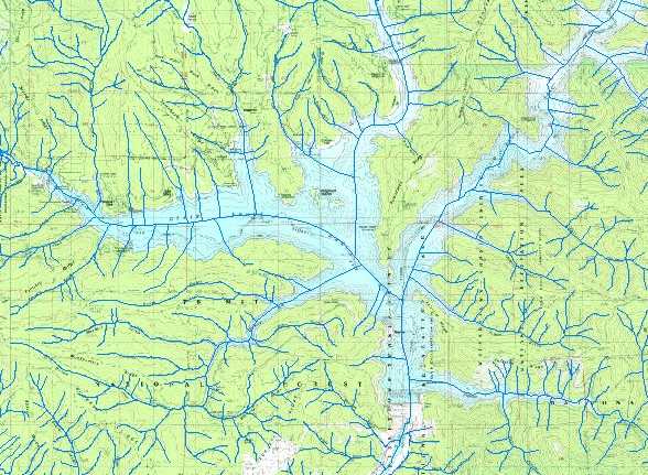
| Topographic map and stream layer for the Trinity lake area. Scale = 1:100,371 . | |||
 |
 |
||
To view metadata about a map layer, click on a link in the table below.
| Name of Layer in Map Legend | Metadata File Name |
|---|---|
| tcsf_str | tcsf_str.shp.txt |
| trinity.sid | trinity.sid.txt |
| www.krisweb.com |