
| Area | S.F. Trinity |
| Topic | Temperature: MWAT at Many Hayfork Sites, by Year 1990-1998 |
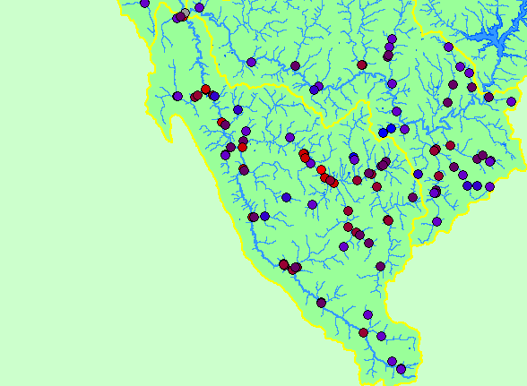
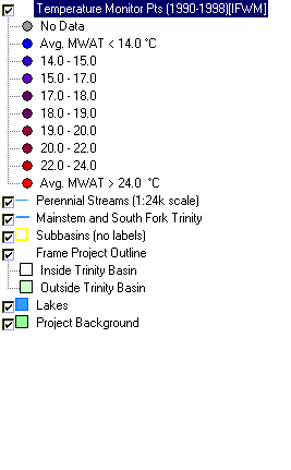
| This map shows the locations of temperature monitoring stations in the South Fork Trinity sub-basin, displayed with 1:24,000 scale perennial streams and sub-basins. Points are color-coded by maximum weekly average temperature (MWAT). Data for this 1990-1998 temperature database were contributed by Institute for Forest and Watershed Management at Humboldt State University, which compiled it from multiple sources. Scale = 1:758,613 . | |||
 |
 |
||
To view metadata about a map layer, click on a link in the table below.
| Name of Layer in Map Legend | Metadata File Name |
|---|---|
| Temperature Monitor Pts (1990-1998)[IFWM] | ifwm_trinity_temps.shp.txt |
| Perennial Streams (1:24k scale) | tcsf_str_perennial.shp.txt |
| Mainstem and South Fork Trinity | trin_riv.shp.txt |
| Subbasins (no labels) | subbasins_trin.shp.txt |
| Frame Project Outline | Unavailable |
| Lakes | tc_lakes.shp.txt |
| Elevation (meters)(USGS)(TIFF) | elev30.tif.txt |
| Topographic Map (1:24k scale) | trinity.sid.txt |
| Grayscale Hillshade of Elevation | grayscale30.tif.txt |
| Slope of Elevation (TIFF) | slope1.tif.txt |
| Project Background | trin_outl.shp.txt |
| www.krisweb.com |