
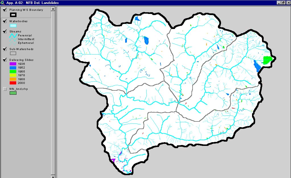
| Area | North Fork Big River |
| Topic | Sediment: Matthews Landslides Delivered North Fork Basin 1921-2000 |
This image, from Matthews and Associates (2001) Appendix A-2, shows delivered slides mapped in the North Fork Planning Watershed. This watershed is the North Fork Big River CalWater sub-basin.
 Click on image to enlarge (126K).
To learn more about this topic click here
| www.krisweb.com |