Photo Pages. Photos on this page are from sub-basin West Branch Sheepscot
and series Tour- West Br. Sheepscot Sub-basin.
Click on any thumbnail to see a larger photo.
For detailed information on these photos click here.
353 KB
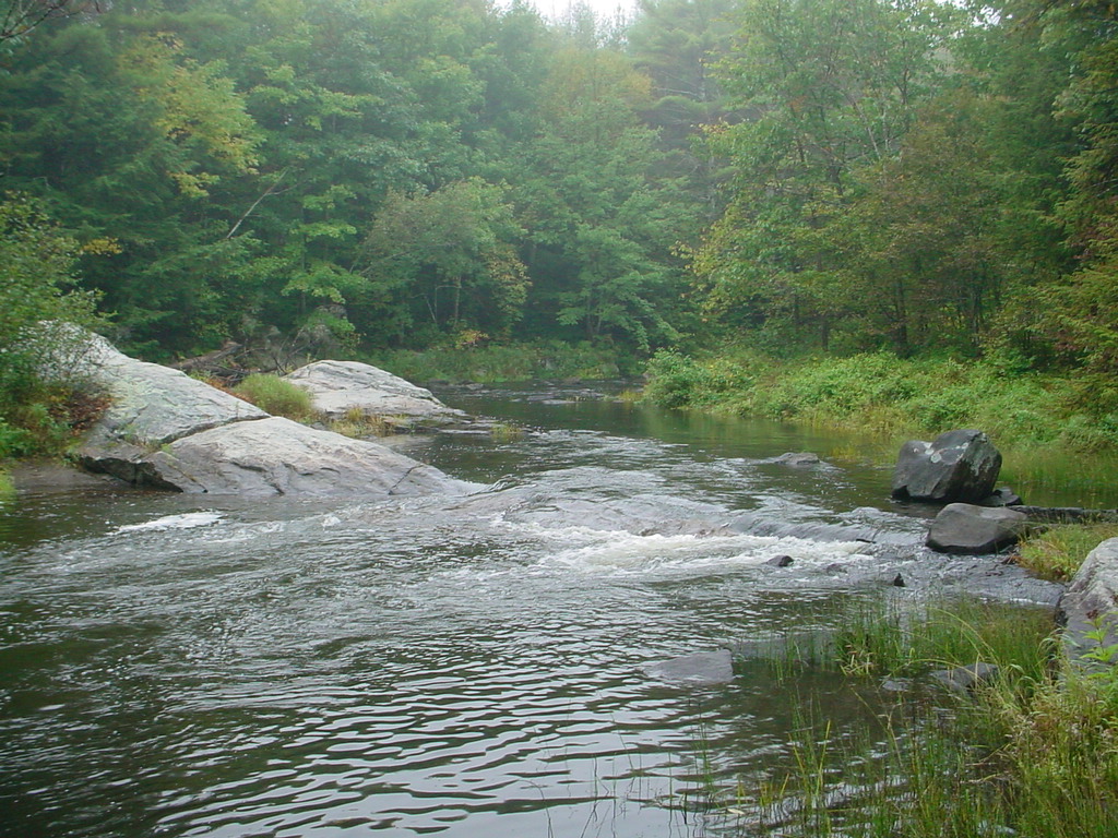
This is a photo of the Lower West Branch of the Sheepscot River taken in September 2003. This is a bedrock control approximately 500 feet above the Howe Road bridge. Picture taken by M. Laser.
360 KB
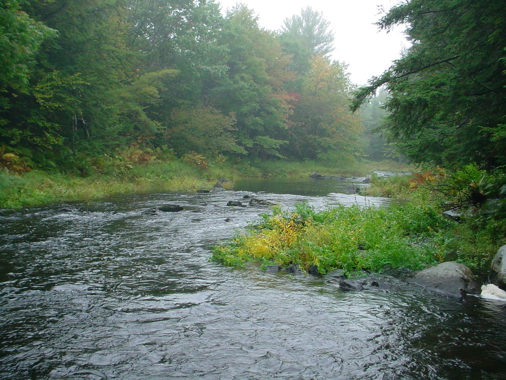
This is a photo of the Lower West Branch of the Sheepscot River taken in September 2003. This photo is taken looking upstream from the bedrock control in the previous photo. Picture taken by M. Laser.
365 KB
This is a photo of the Lower West Branch of the Sheepscot River taken in September 2003. This photo was taken to show the location of a spring on the right above the rock outcrop. Picture taken by M. Laser.
357 KB
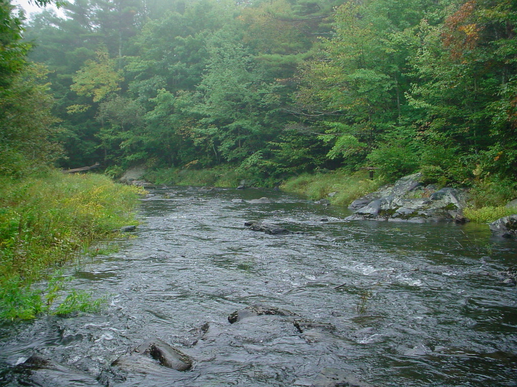
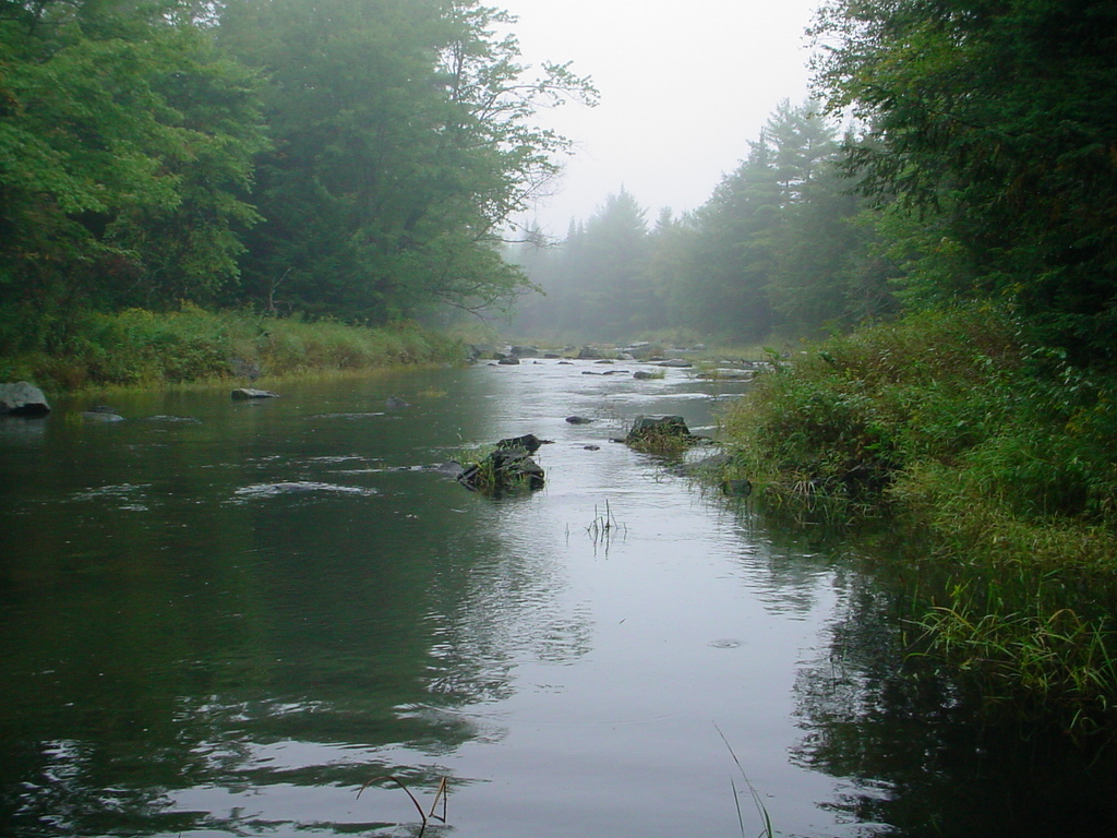
This is a photo of the Lower West Branch of the Sheepscot River taken in September 2003. This photo was taken approximately 1/4 mile above the Howe Road bridge. Picture taken by M. Laser.
353 KB
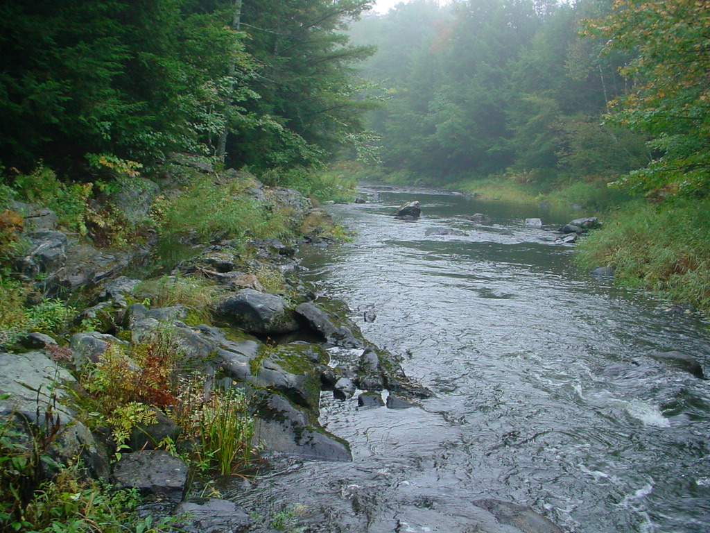
This is a photo of the Lower West Branch of the Sheepscot River taken in September 2003. This photo was taken looking upstream from the previous photo. Picture taken by M. Laser.
364 KB
This is a photo of the Lower West Branch of the Sheepscot River taken in September 2003. This photo is taken at the upper limit of juvenile Atlantic salmon habitat. Picture taken by M. Laser.
362 KB
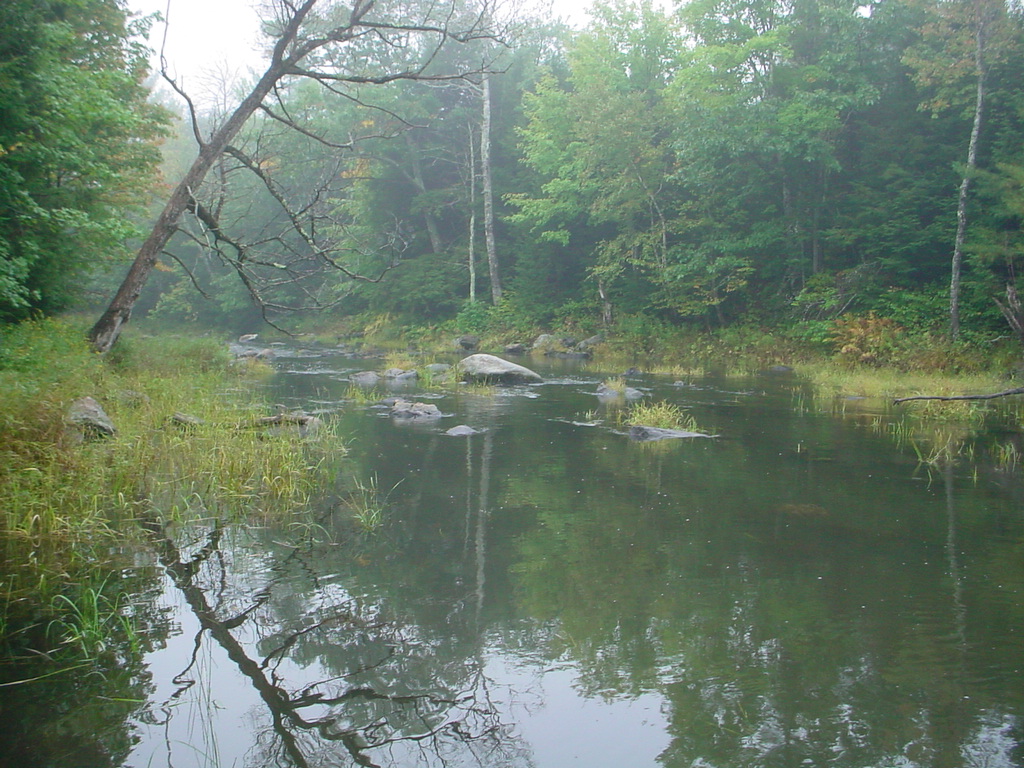
This is a photo of the Lower West Branch of the Sheepscot River taken in September 2003. The dead tree at the left in the photo will eventually become large woody debris. Picture taken by M. Laser.
 360 KB
 365 KB
 357 KB
 353 KB
 364 KB
 362 KB