Photo Pages. Photos on this page are from sub-basin Upper Sheepscot
and series Historical Topographic Maps- Coopers Mills Area.
Click on any thumbnail to see a larger photo.
For detailed information on these photos click here.
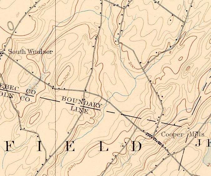
125 KB
1893 topographic map of the Coopers Mills area of the Sheepscot River. From the Vassalboro SE quads downloaded from http://docs.unh.edu/nhtopos/nhtopos.htm.
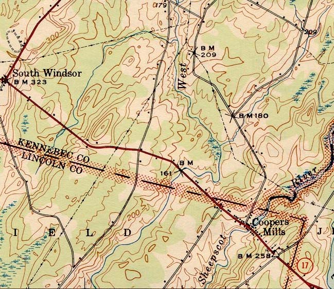
164 KB
1943 topographic map of the Coopers Mills area of the Sheepscot River. From the Vassalboro SE quads downloaded from http://docs.unh.edu/nhtopos/nhtopos.htm.
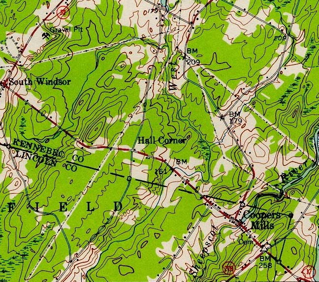
198 KB
1956 topographic map of the Coopers Mills area of the Sheepscot River. From the Vassalboro SE quads downloaded from http://docs.unh.edu/nhtopos/nhtopos.htm.
 164 KB
 198 KB