Photo Pages. Photos on this page are from sub-basin Mainstem Sheepscot
and series Tour- Sheepscot River near King's Mills 2004.
Click on any thumbnail to see a larger photo.
For detailed information on these photos click here.
144 KB
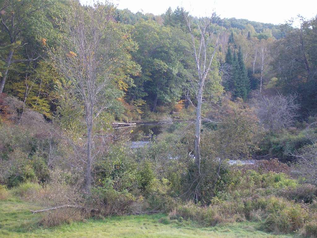
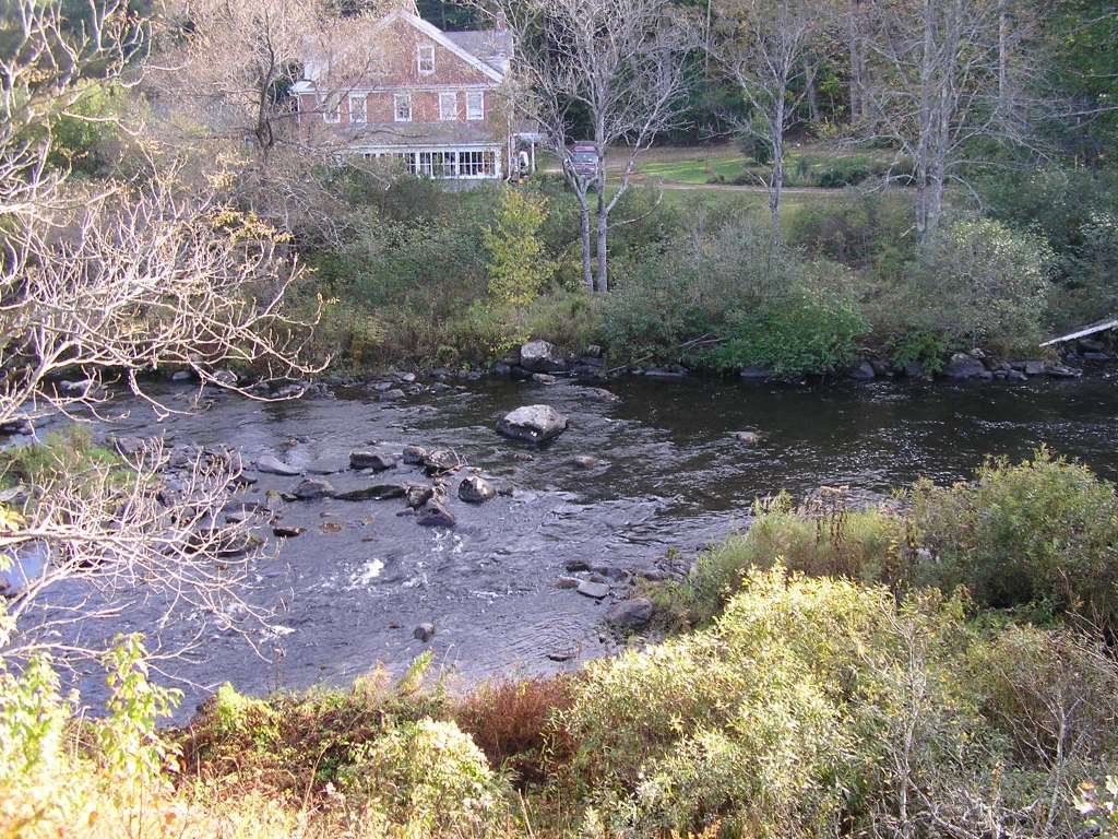
This photograph shows the riparian zone of the Sheepscot River, looking downstream, somewhere downstream of King's Mills (Whitefield). This site is located in the Mainstem Sheepscot sub-basin. Photograph was taken by Eli Asarian on 10/8/2004.
114 KB
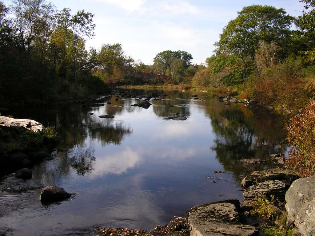
This photograph shows the Sheepscot River, looking upstream near King's Mills (Whitefield). This site is located in the Mainstem Sheepscot sub-basin. Photograph was taken by Eli Asarian on 10/8/2004.
184 KB
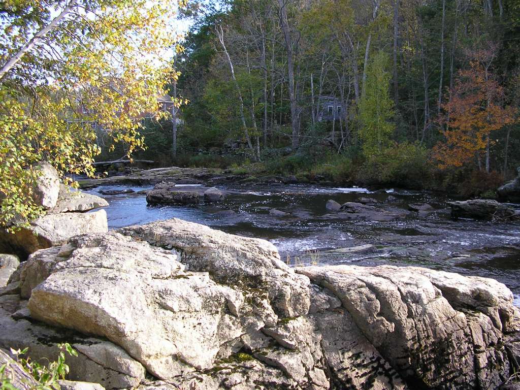
This photograph shows the Sheepscot River, looking downstream, at the former site of King's Mills Dam (Whitefield). This site is located in the Mainstem Sheepscot sub-basin. Photograph was taken by Eli Asarian on 10/8/2004.
155 KB
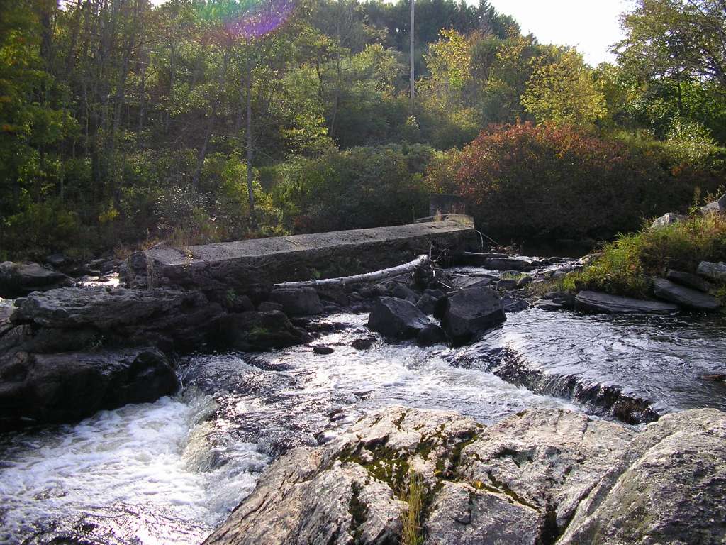
This photograph shows the Sheepscot River, looking downstream from the former site of King's Mills Dam (Whitefield). This site is located in the Mainstem Sheepscot sub-basin. Photograph was taken by Eli Asarian on 10/8/2004.
160 KB
This photograph shows the Sheepscot River at the former site of King's Mills Dam (Whitefield), looking west. This site is located in the Mainstem Sheepscot sub-basin. Photograph was taken by Eli Asarian on 10/8/2004.
195 KB
This photograph shows the Sheepscot River, shortly downstream from the former site of King's Mills Dam (Whitefield). This site is located in the Mainstem Sheepscot sub-basin. Photograph was taken by Eli Asarian on 10/8/2004.
115 KB
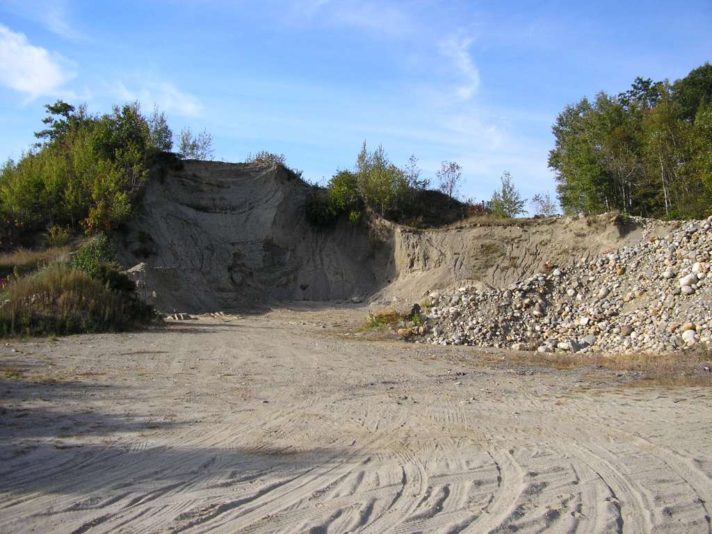
This photograph shows the a gravel pit along highway 194 near the former site of King's Mills Dam (Whitefield). This site is located in the Mainstem Sheepscot sub-basin. Photograph was taken by Eli Asarian on 10/8/2004.
 114 KB
 184 KB
 155 KB
 160 KB
 195 KB
 115 KB