Bibliography Background About KRIS
KRIS Kootenai Pilot Background Pages
KRIS background pages try to provide a succinct and understandable summary of scientific information about fisheries, water quality and watershed data found in KRIS databases. These pages may also include examples of charts, with explanations to allow non-trained users to interpret data. KRIS projects rely on local scientists and land managers and their reports, along with other relevant scientific literature, are available in the KRIS bibliography.
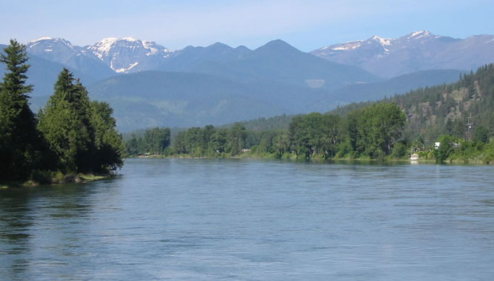
Kootenai River upstream from Libby, Montana with the Cabinet Range of the Rocky Mountains as a backdrop. Use of photo allowed by Big Sky Fishing.Com.
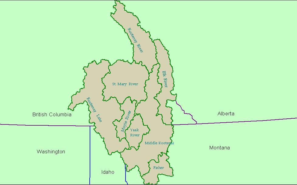
KRIS Kootenai Project Sub-basins: Basin boundaries in this pilot follow recognized small scale hydrologic boundaries from the U.S. Geologic Survey (see Map). The eight basins are named under this convention, but at the request of reviewers and KRN, the Bull River sub-basin has been re-named the Middle Kootenai. Because this project is only a pilot, existing boundaries had to be used, but sub-basins could be redefined in a full project.